Table of Contents
ToggleWhy Offline Navigation Matters on a Komodo Boat Tour
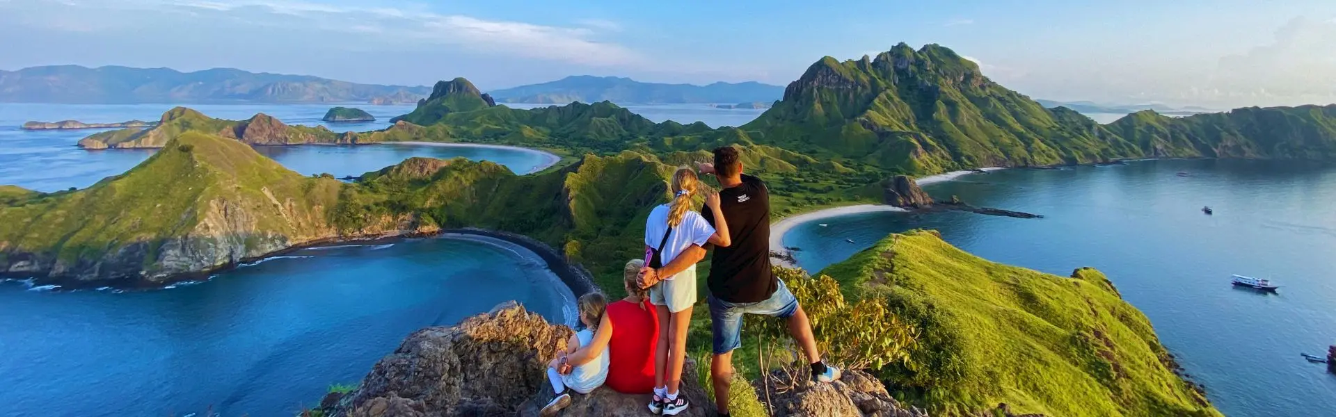
Once you leave Labuan Bajo, mobile signal and Wi-Fi often disappear. Around Komodo National Park between Padar, Komodo, Pink Beach, and remote snorkeling sites, being able to use offline maps and GPS makes your trip safer and more enjoyable. These tools help you follow the route, mark favourite snorkel spots, and save a precise record of your journey — whether you're on an Open trip Komodo 3D2N or a private phinisi charter.
Best Offline Map & GPS Apps for Komodo Travelers
Google Maps (Offline Mode)
Pre-download the Komodo region. Offline Google Maps still shows your location and labels islands, ideal for general orientation.
Maps.me
Favoured by hikers and sailors — Maps.me gives detailed walking paths and island trails (Padar, Rinca) and allows you to drop pins for snorkeling sites like Manta Point and Taka Makassar.
Navionics Boating App
Used by captains, Navionics shows nautical charts, depth contours and anchoring zones. As a guest, it helps you understand routes and safe anchorages.
Gaia GPS / AllTrails
Great for trekkers who want to record hikes on Rinca or Padar and view satellite imagery of trails.
How to Prepare Your Maps Before You Sail
- Download maps of Komodo National Park while still on Wi-Fi in Labuan Bajo.
- Pin key locations: Labuan Bajo, Kelor, Padar, Pink Beach, Komodo Island, Manta Point, Taka Makassar.
- Enable GPS on your device — GPS works without internet.
- Power up: Use battery saver settings and bring a power bank; sun and humidity drain batteries fast.
- Check time & timezone: Ensure your phone's time is correct so location stamps and logs are accurate.
Using GPS During the Trip
Open your chosen app to watch the boat icon move as you sail. Use it to:
- Mark snorkeling and anchor spots for later revisits.
- Estimate travel time between islands (commonly 1–2 hours legs).
- Save route logs — great for creating travel maps or video overlays later.
Many guests export GPS tracks to create a custom “Komodo Route Map” — a unique digital souvenir.
Safety & Privacy Tips
- Never replace your captain’s navigation with an app — the crew knows local sea conditions.
- Follow ranger and guide rules on Komodo and Rinca — maps don’t remove wildlife risks.
- Turn off location sharing when not needed to conserve battery and protect privacy.
- Back up photos and GPS logs to cloud storage when you next have internet access.
Creative Ways to Use GPS Data
Turn your route into a travel diary, tag photos with island names, or overlay GPS logs on drone footage. These small touches turn a great trip into a memorable story.
Final Thoughts
With simple preparation — a few app downloads, pinned locations, and a charged battery pack — offline maps and GPS transform a Komodo boat tour from “lost at sea” to confidently exploring paradise. Whether you’re on an open trip Komodo 3D2N or a private charter, this small tech prep helps you stay safe, capture more, and remember everything.